


A powerful storm system is sweeping across the United States, creating widespread disruptions and posing severe weather risks. This storm is the second major weather event of the week, with a third storm expected shortly after. The storm is affecting over 125 million people, primarily due to a combination of heavy snow, flash flooding, and tornado warnings.
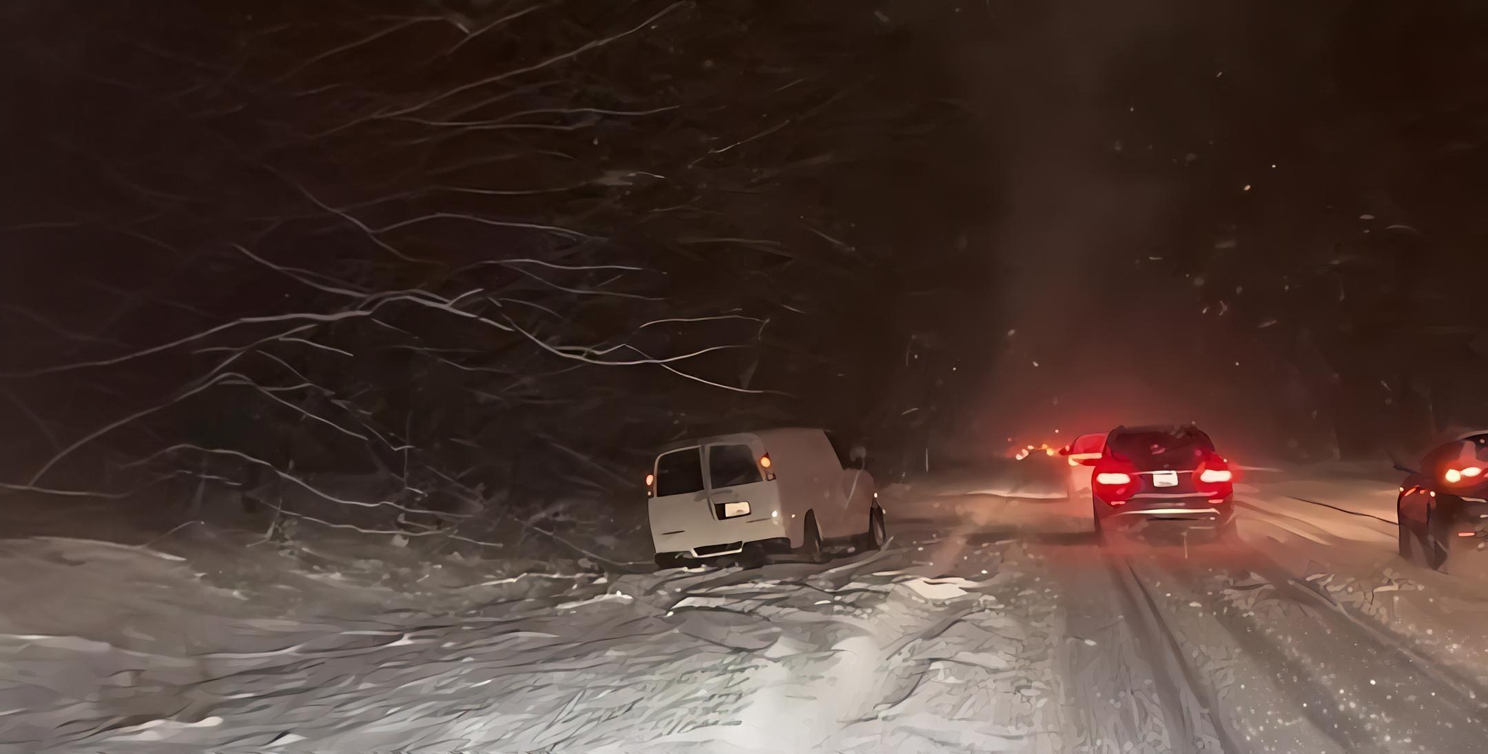
The storm’s impact is widespread, reaching areas from the Midwest to the East Coast, including several southern states. As the storm moves eastward, heavy snow and ice are expected to continue impacting regions from Chicago to New York. In Chicago, the city is experiencing the heaviest snowfall of the season, significantly affecting road conditions and transportation. This has led to dangerous driving conditions, with vehicles becoming stuck in snow drifts and roads being covered in ice. As a result, drivers have been warned to use extreme caution, particularly in parts of the Midwest and East Coast where snow and icy roads have already caused hundreds of accidents.
Virginia is one of the hardest-hit areas, where a state of emergency has been declared in response to the intense weather. Over the past 24 hours, some parts of Virginia have seen up to a foot of snow, further complicating the already hazardous road conditions. The heavy snow and ice have also caused power outages, with nearly 200,000 homes and businesses losing electricity. The ice is so severe that it has caused power lines to fall, some of which are reportedly smoking when they come in contact with the ice. This is making it even more difficult for emergency responders and utility crews to address the situation.
Across the country, the storm is causing major traffic issues. In Kansas City, snow-covered highways have caused delays and stranded drivers. Cities like Baltimore and Washington D.C. have also been impacted by treacherous driving conditions, with cars sliding off the road due to the icy conditions. Additionally, in Virginia, large trees have fallen on homes, contributing to the damage and making it even more difficult for residents and emergency responders to deal with the storm’s aftermath.
While the storm is causing significant disruptions, it is far from over. A third major winter storm is expected to hit Friday night, bringing even colder temperatures and further snow and ice to the affected areas. This storm will also introduce subzero temperatures, compounding the already dangerous conditions. Furthermore, tornado watches have been issued across the southern states, including Louisiana, Mississippi, and Alabama. Tornado warnings are already in effect in areas like Meridian, Mississippi, and other parts of the South are expected to experience severe weather, including thunderstorms and flash flooding.
In addition to the severe weather in the South, flooding is becoming a major concern in Kentucky, where rain is expected to increase the risk of flash flooding. In the Northeast, snow mixed with rain is forecasted to continue, making driving conditions even more dangerous in cities like New York and Boston.
Finally, the storm is expected to impact California, where the third major weather system of the week is set to bring heavy rainfall. With up to 10 inches of rain expected in some areas, there are concerns about mudslides, particularly in areas that have already experienced heavy rain earlier in the season.